After some warm farewell and hugs, we leave our newzealander host and new german roomates to take the road again aboard our dear car Léonie. We take a last look over Lake Taupo that has been our daily panorama during 2 months, before turning our back and drive for the first time on the south side of the lake. We briefly stop in a little village in a quiet bay to look at the lake from a different angle : how weird is it to see Taupo on the other side instead of the volcanoes !
We take the direction of south west to the last summit on north island that we haven’t climed yet : Mount Taranaki. And to drive there, no way, we take the highway !
The Forgotten World Highway
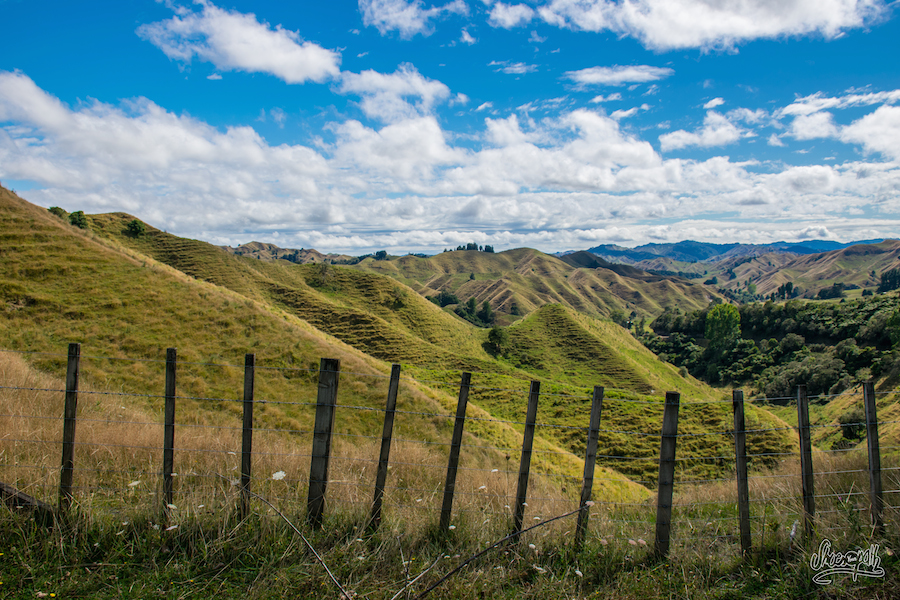
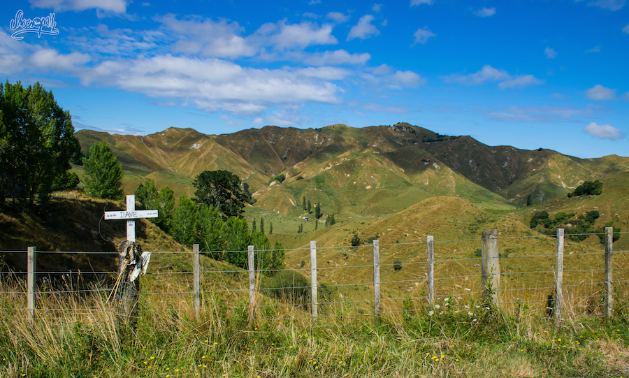
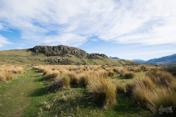
We take the SH43, a beautiful country road known as the Forgotten World Highway that passes throught one of the first European settlements in New Zealand. The road winds its way amongst a picturesque hilly landscape covered by tall yellowish summer grass, on which thousands of sheep are grazing peacefully. Lonely old trees and abandonned farms spotted along the way give us the impression to travel in the past. Like if the time had been frozen a 100 years ago…
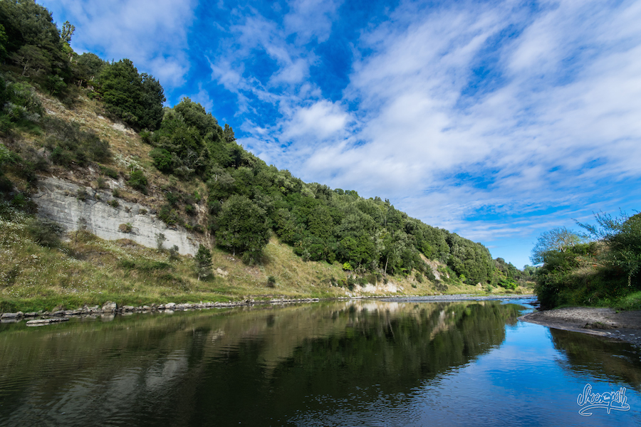
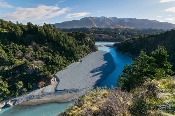
On our left the Whanganui river flows quietly between long gravel banks, while to our right gigantic cliffs line the narrow road, indicators of a previous period when this whole area was at the bottom of the oceans and the dinosaurs were grazing instead of the sheep.
We stop for the night on a free Doc campground alongside the river, providing a very nice view but also a few nasty sandflies!!
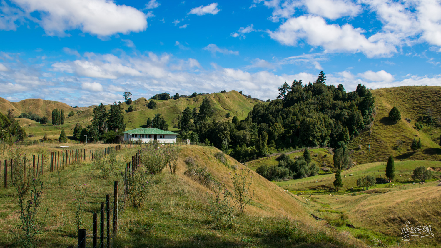
All along the road you can visit testimonies from the past, old mine entrances, lush forests or waterfalls. We’ve selected some of them on our tourist map, but unfortunately we will miss most of them... Indeed, either the map (imprecise) does not indicate that the access to the site is a 2 hour walk away, or there is no sign on the road indicating the locations. However, we still appreciate driving along the road through deep green gorges and small charming villages.
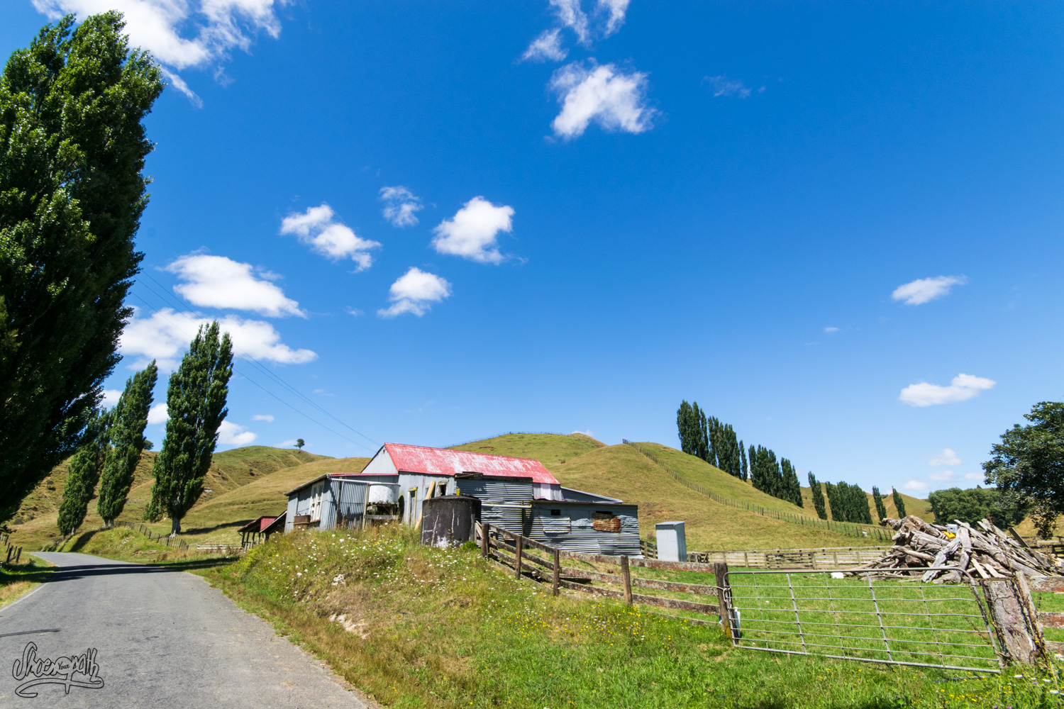
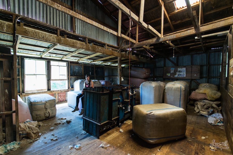
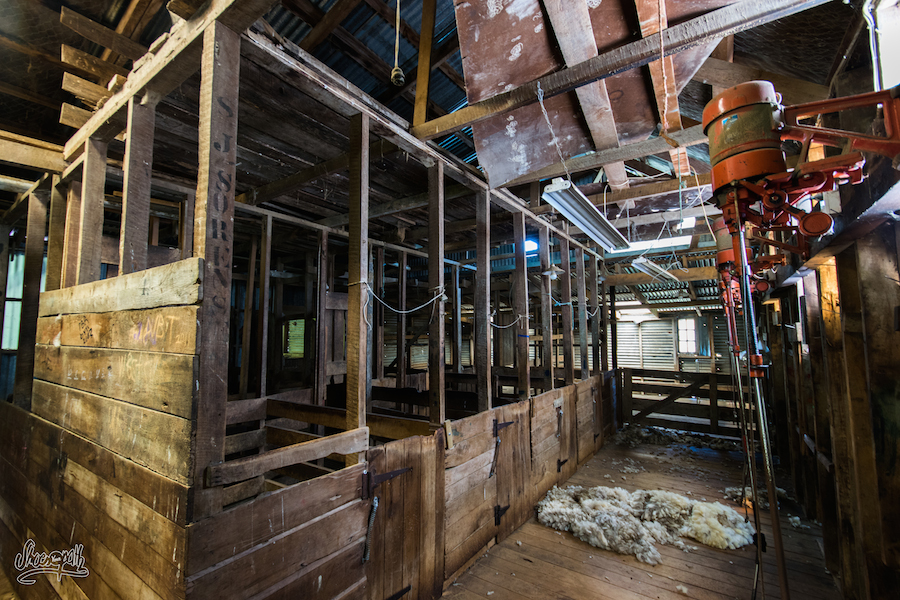
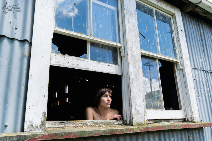
We stop on the way every 5 minutes to take a picture or two of this picturesque scenery, and even dare coming into one of those old seemingly abandonned wooden building. We discover it’s an old shearing shed, apparently still in activity considering the electric clippers hanging from the ceiling and the numerous empty bottles of beer…
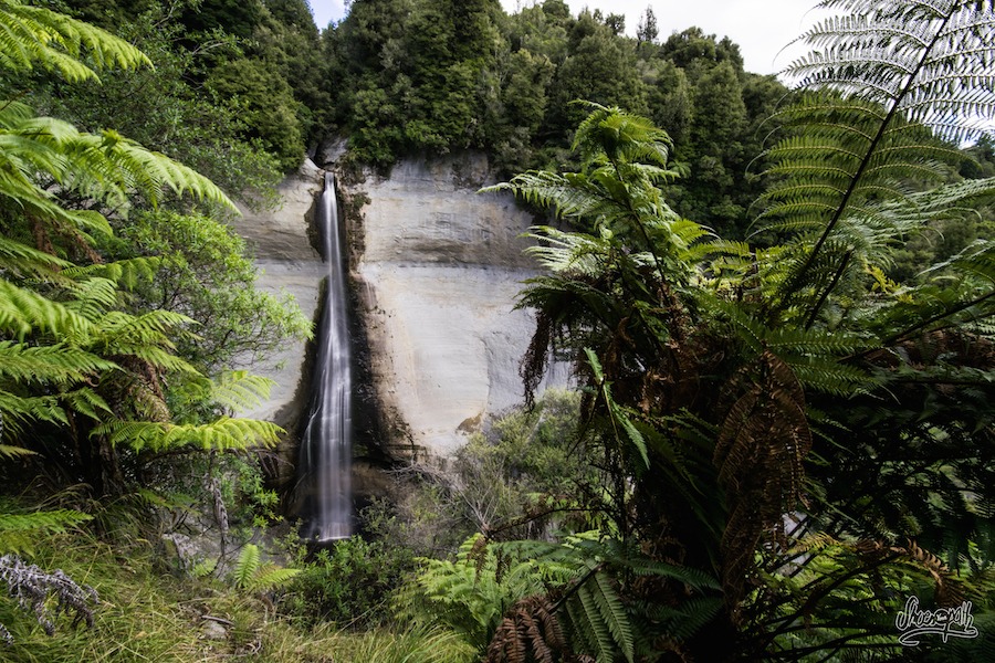
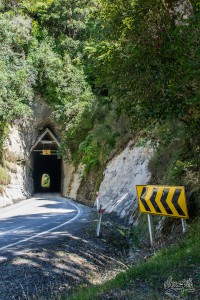 Later, we jump in our hiking boots for a short 40 minutes walk through fields and forest to take a look over the Mount Damper Falls, one of the highest waterfalls of the North Island, its rushing waters plunging in a deep groove from the top of 74m. After this little excercise, the road takes us throught an ancient tunnel looking like a wooden whale skeleton. Impressive!
Although we eventually missed a lot of interesting points along the road, we still think the Forgotten World Highway was well worth the drive, if only for its beautiful sceneries on the hillsides that offer a breathtaking view at every turn over the 100% New Zealander countyside. From the distance we can see our next goal : the Mt Taranaki, which huge almost perfectly conical shadowy shape looms out of the deep blue sky.
See you soon on the road!
Tintin & Riette
Tips :
Camping on the Forgotten World Highway :
- Not far from Taumarunui, you can camp for free on the edge of Whanganui River in Ohinepane Reserve.
- Non drinkable water on tap, composting toilets (with one accessible for disables)
Mount Damper Falls :
- In Ohura turn on Waitaanga Rd and follow the signs
- 1 hour walk return on a private land to the lookout
- Closed between the 1 august and 31 october due to lambing.
- Free !
There is no petrol station on the 150km of the Forgotten World Highway !


Comments (0)